
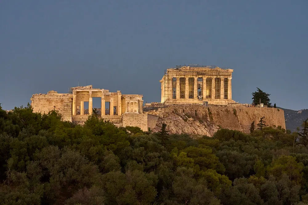

Wind from the north
- Evros18 of 18 beaches sheltered
- Rodopi17 of 17 beaches sheltered
- Salamis17 of 17 beaches sheltered
- South Athens16 of 16 beaches sheltered
- Sifnos12 of 12 beaches sheltered
On a windy day some beaches get rough while the ones facing away stay flat. We rank the beaches you can reach by how sheltered they are from today's wind.
Pick as few or as many as you like. Every step is optional.
Flat water for swimming, or wind for sports?
Wind and waves: how still should the sea be?
What do you like under your feet?
Only beaches whose ground type is known.
How far will you go today, and how?
Which part of the forecast should we read?
Your location stays on your device. It is never sent or stored.
Where we cover
Countries in colour are live now, more are on the way. Point at any country for details, click a live one to see which of its beaches are sheltered today.
Live now
Coming soon
And this is just the start: country by country, we're working our way around the whole globe.
Pick a place
Which side is sheltered from today's wind in Greece, place by place.
Which side is sheltered from today's wind in Italy, place by place.
By the numbers
Every figure is counted from the map data, not estimated. And the map keeps growing.
 SpainSoon
 FranceSoon
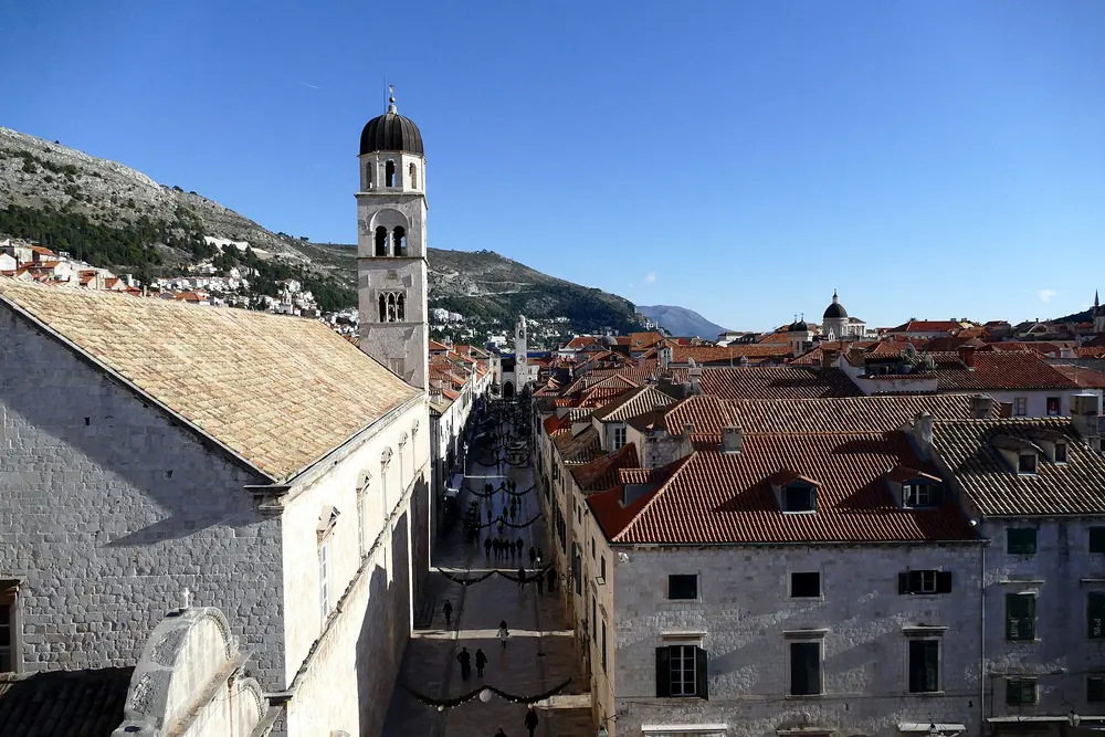 CroatiaSoon
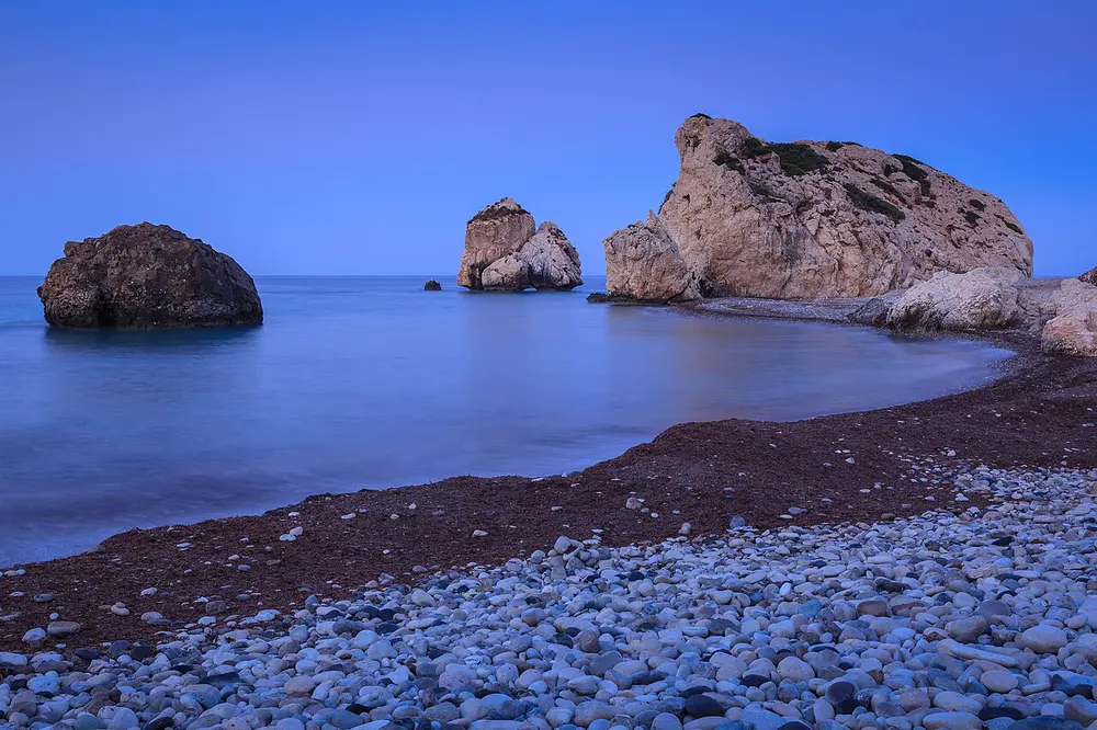 CyprusSoon
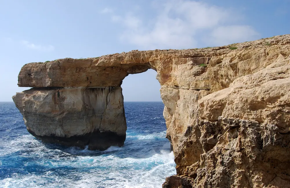 MaltaSoon
 TürkiyeSoon
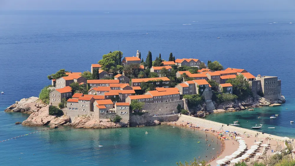 MontenegroSoon
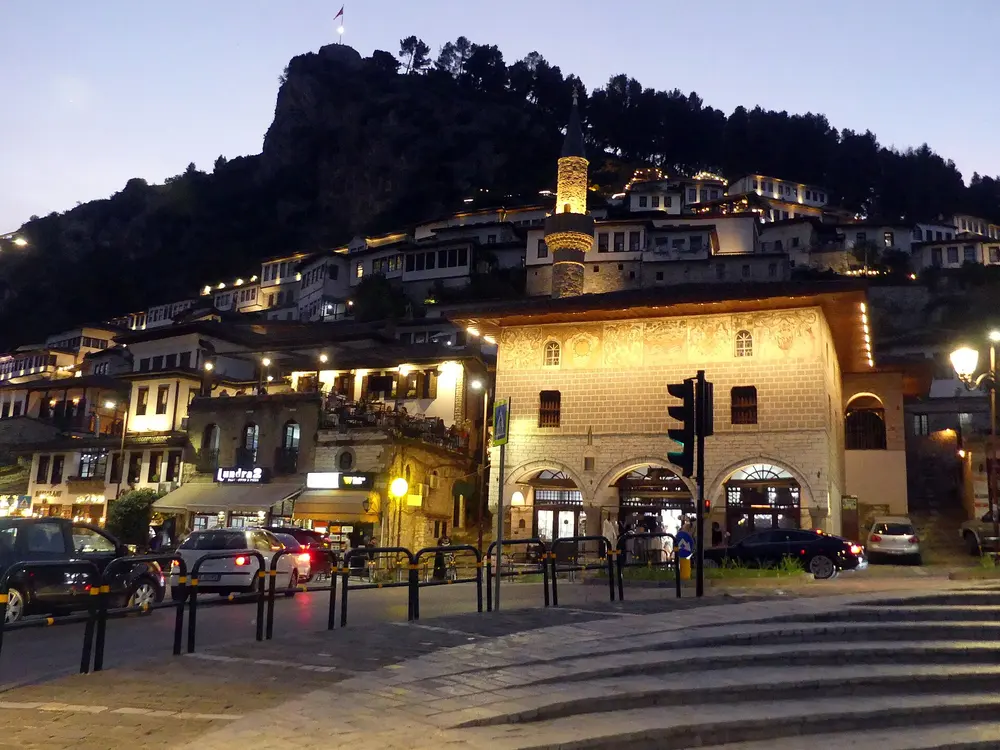 AlbaniaSoon
And this is just the start: country by country, we're working our way around the whole globe.
Photo: Spain: Diego Delso, CC BY-SA 4.0 · France: Pedro Kümmel, CC0 · Croatia: Donald Judge, CC BY 2.0 · Cyprus: Anton Zelenov, CC BY-SA 4.0 · Malta: Felix König, CC BY 3.0 · Türkiye: Arild Vågen, CC BY-SA 3.0 · Montenegro: Marcin Konsek, CC BY-SA 4.0 · Albania: Zalasem1, CC BY 4.0
Three steps
The same planner works in every country we cover. It is free and needs no sign-up.
Click a country on the map or in the carousel, choose an island or coast, or let the planner find the beaches near you.
Now, later today, tomorrow or the weekend. Flat water for small children, or a little life in the sea for snorkelling.
Every beach within reach is scored for the wind forecast at that hour, so the sheltered ones come first.
Wind and shelter
Waves are made by wind blowing across open water. The longer the stretch of open sea upwind of a beach, the bigger the waves that reach it. It works the same on an island and on the mainland: the coast facing the wind takes the waves, and a beach with land close by on the windward side stays flat, even when the next bay is rough.
The shelter score is about waves, not about safety. Swell from distant storms is not in the forecast, so always follow lifeguard flags and local warnings.
The map is an example, not a real place; the scores show what the planner would give each beach in this wind. Data: beaches and coastlines from OpenStreetMap contributors (ODbL), wind forecast from MET Norway (CC BY 4.0), monthly climate from NASA POWER, visitor levels from Eurostat (CC BY 4.0).
Sea temperature
The average sea temperature near the beaches of each country, from 30 years of satellite measurements (1991–2020). This month is outlined.
The warmest sea in the table: Italy in August, at 26 °C on average.
Sea temperature: NOAA OISST v2.1, average of 1991–2020 (public domain). Close to the shore the water can be a degree or two warmer or cooler.
Questions
Short answers about sheltered beaches, wind, water temperature and when to go.
Find a sheltered beachAllow your location in the planner at the top of the page, or pick a place, then choose how far you are willing to travel and when. We rank the beaches within reach by how flat the sea is for those hours. It is free, needs no sign-up, and your location stays in your browser.
For every beach we measured how much open sea lies in each of 16 compass directions, using OpenStreetMap coastlines. Waves build over open water, so a beach with land close by in the direction the wind comes from is sheltered. Today's wind forecast from MET Norway is then applied, and the result is refreshed every 2 hours.
The side that faces away from the wind. With a north wind the south-facing beaches are sheltered, with a west wind the east-facing ones. The planner ranks every beach for today's real wind, in every country we cover.
Greece and Italy: 7,823 mapped beaches on 265 islands and coastal areas. Coming next: Spain, France, Croatia, Cyprus, Malta, Türkiye, Montenegro, and Albania.
They are estimates. The model does not include swell from distant storms, and local gusts can be stronger than forecast. Always follow lifeguard flags and local warnings.
Yes. There is no sign-up and no app to install.

By the numbers
Counted from the map data we use, not estimated.
Shelter by wind direction
The wind direction decides which beaches are sheltered. Waves build over open water, so a beach with land upwind stays flat. These are the places where the largest share of beaches stay flat in a strong wind (6 Bft) from each direction. Today's forecast is applied live in the planner at the top of the page.
Beach guides
A guide for every kind of beach, each one re-ranked live for today's wind.

Photo: Dkoukoul · CC BY-SA 4.0

Photo: Wouter Hagens · CC BY-SA 3.0

Photo: Vadim Indeikin · CC BY-SA 3.0

Photo: Karel Macalik from Prague, Czech republic · CC BY 2.0

Photo: Nikater · CC BY-SA 3.0

Photo: Ellibah · CC BY-SA 4.0

Photo: NiTenIchiRyu · CC BY-SA 4.0

Sea temperature
The average temperature of the sea near the beaches of each place, from 30 years of satellite measurements (1991–2020).
Pahia Ammos Nudist Beach, Crete · Photo: Maurizio Ceol · CC BY 3.0
| Place | Jan | Feb | Mar | Apr | May | Jun | Jul | Aug | Sept | Oct | Nov | Dec |
|---|---|---|---|---|---|---|---|---|---|---|---|---|
| Mykonos | 16 | 16 | 16 | 16 | 18 | 21 | 23 | 24 | 23 | 21 | 19 | 17 |
| Naxos | 16 | 16 | 16 | 17 | 19 | 22 | 23 | 24 | 23 | 21 | 19 | 17 |
| Paros | 16 | 16 | 16 | 17 | 19 | 22 | 23 | 24 | 23 | 22 | 19 | 17 |
| Santorini | 16 | 16 | 16 | 17 | 19 | 22 | 24 | 24 | 24 | 22 | 20 | 18 |
| Milos | 16 | 16 | 16 | 17 | 19 | 22 | 24 | 25 | 24 | 22 | 20 | 17 |
| Crete | 17 | 16 | 16 | 17 | 19 | 22 | 25 | 26 | 25 | 23 | 21 | 18 |
| Rhodes | 18 | 17 | 17 | 18 | 20 | 22 | 25 | 26 | 26 | 24 | 21 | 19 |
| Corfu | 16 | 15 | 15 | 16 | 19 | 22 | 24 | 25 | 24 | 22 | 20 | 17 |
| Athens Riviera | 15 | 15 | 15 | 16 | 18 | 22 | 25 | 25 | 25 | 22 | 20 | 17 |
| Peloponnese | 16 | 15 | 15 | 16 | 19 | 22 | 25 | 26 | 25 | 23 | 20 | 18 |
| Halkidiki | 14 | 14 | 13 | 15 | 19 | 23 | 26 | 26 | 24 | 21 | 18 | 15 |
| Evia | 15 | 14 | 14 | 15 | 18 | 22 | 25 | 25 | 24 | 22 | 19 | 16 |
From June to October the sea is 22 °C or warmer on average, comfortable for most people to swim in. The warmest is Thessaloniki in August, at about 27 °C. In August the coolest sea is at Lesbos, about 23 °C.
Sea temperature: NOAA OISST v2.1, average of 1991–2020 (public domain). Close to the shore the water can be a degree or two warmer or cooler.
Best time to go
The busiest month is August. In May and October there are about half as many visitors, or fewer. For a flat sea and fewer people, most places are at their best in June and October.
Typical visitor levels by month, averaged over every place we have statistics for: nights spent in tourist accommodation (Eurostat, CC BY 4.0), compared with each place's busiest month. They show when an area is busy, not how crowded one beach is on a given day.
By the numbers
Counted from the map data we use, not estimated.
Shelter by wind direction
The wind direction decides which beaches are sheltered. Waves build over open water, so a beach with land upwind stays flat. These are the places where the largest share of beaches stay flat in a strong wind (6 Bft) from each direction. Today's forecast is applied live in the planner at the top of the page.
Beach guides
A guide for every kind of beach, each one re-ranked live for today's wind.
Sea temperature
The average temperature of the sea near the beaches of each place, from 30 years of satellite measurements (1991–2020).
Photo: Maurizio Ceol · CC BY 3.0
| Place | Jan | Feb | Mar | Apr | May | Jun | Jul | Aug | Sept | Oct | Nov | Dec |
|---|---|---|---|---|---|---|---|---|---|---|---|---|
| Sicily | 15 | 15 | 15 | 16 | 18 | 22 | 25 | 26 | 25 | 23 | 20 | 17 |
| Sardinia | 14 | 14 | 14 | 15 | 18 | 21 | 24 | 25 | 24 | 21 | 18 | 16 |
| Elba | 14 | 14 | 14 | 15 | 18 | 22 | 24 | 25 | 23 | 21 | 18 | 16 |
| Amalfi Coast | 15 | 14 | 14 | 16 | 19 | 23 | 25 | 26 | 24 | 22 | 19 | 17 |
| Cinque Terre & Levante | 14 | 13 | 14 | 15 | 18 | 22 | 24 | 25 | 23 | 20 | 18 | 16 |
| Salento | 14 | 14 | 14 | 15 | 18 | 22 | 25 | 26 | 24 | 21 | 18 | 15 |
| Gargano | 13 | 13 | 13 | 14 | 18 | 22 | 25 | 26 | 24 | 20 | 17 | 15 |
| Riviera di Ponente | 14 | 13 | 14 | 15 | 18 | 21 | 24 | 25 | 22 | 20 | 17 | 15 |
| Versilia & the Tuscan coast | 14 | 13 | 14 | 15 | 18 | 22 | 24 | 25 | 23 | 20 | 18 | 16 |
| Cilento | 15 | 14 | 15 | 16 | 19 | 23 | 25 | 27 | 25 | 22 | 20 | 17 |
| Genoa | 14 | 13 | 14 | 15 | 18 | 22 | 24 | 25 | 23 | 20 | 18 | 16 |
| Tropea & Costa degli Dei | 15 | 14 | 15 | 16 | 19 | 23 | 26 | 27 | 25 | 22 | 20 | 17 |
From June to September the sea is 22 °C or warmer on average, comfortable for most people to swim in. The warmest is Isola di Lipari in August, at about 27 °C. In August the coolest sea is at Riviera di Ponente, about 25 °C.
Sea temperature: NOAA OISST v2.1, average of 1991–2020 (public domain). Close to the shore the water can be a degree or two warmer or cooler.
Coming next to the map
Spain, France, Croatia, Cyprus, Malta, Türkiye, Montenegro, and Albania