calmbeach.day answers one question: which beach near me has calm sea today? On a windy day some beaches are rough while beaches facing the other way stay flat. We rank the beaches you can reach by how sheltered they are from the wind forecast for the time you choose.
How it works
For every beach we measured, once, how much open sea lies in each of 16 compass directions, using the OpenStreetMap coastline. Waves build over open water, so a beach with land close by in the direction the wind comes from is sheltered, and a beach facing a long stretch of open sea is exposed.
Every two hours we fetch the wind forecast and combine it with those measurements to score each beach. Travel times are estimates from straight-line distance, not live traffic. Windsurfers and kiters can flip the logic: the same data then shows the windy, exposed beaches.
Your location
If you allow it, your device location is used inside your browser to work out where you are and how far each beach is. It is never sent to our server or stored.
Data sources
- Weather: MET Norway Locationforecast (CC BY 4.0).
- Historical monthly averages (past years, on island pages): NASA POWER, CC BY 4.0.
- Beaches and coastlines: © OpenStreetMap contributors, available under the ODbL.
- Base map: Protomaps, built from OpenStreetMap data and served from our own server.
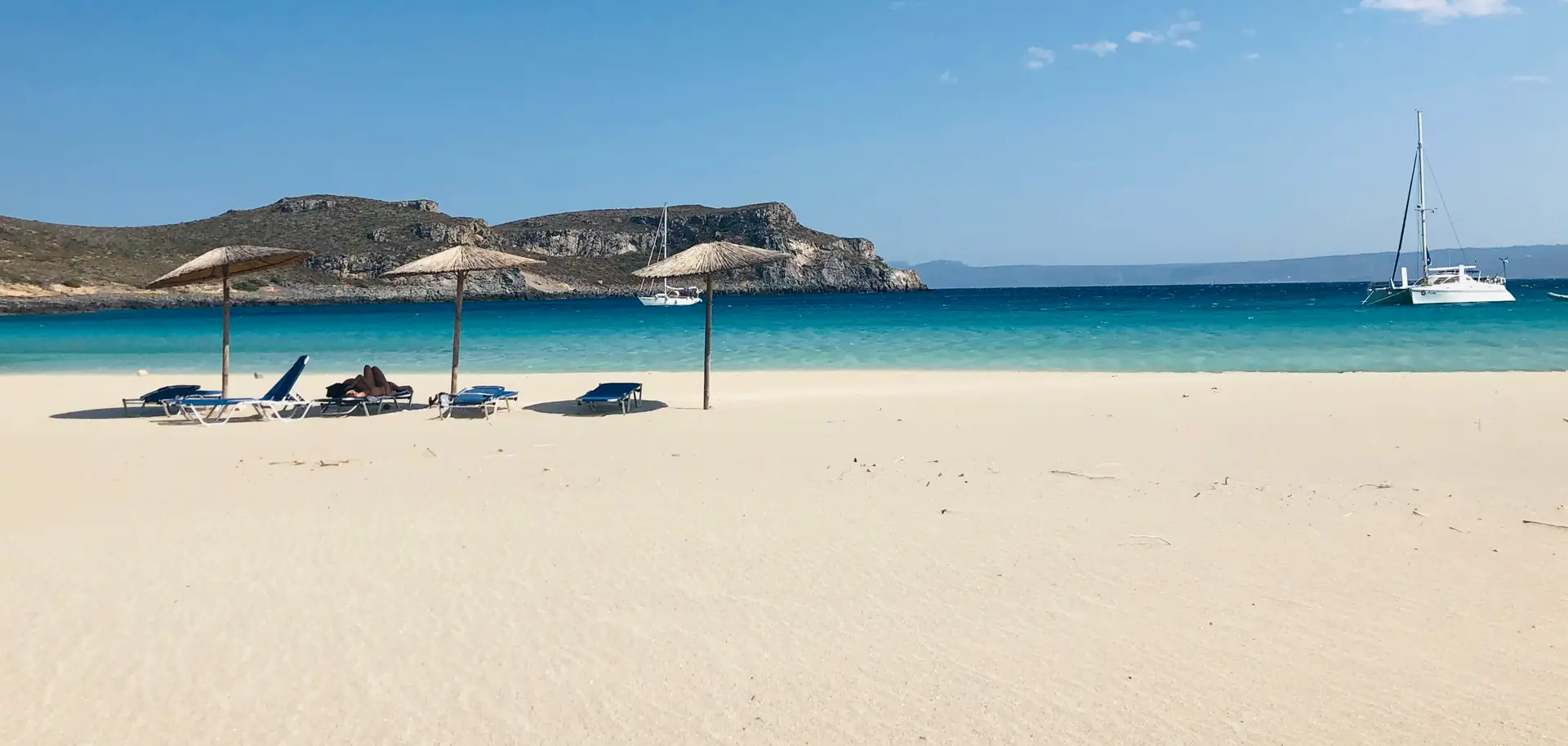
- Default home page photo: Nick Panourgias on Unsplash (Unsplash licence), stored on our own server.
- Photos of beaches, towns and islands: Wikimedia Commons, only under the licences CC0, public domain, CC BY and CC BY-SA. Every photo is credited to its author, with its licence, right where it is shown. They are resized copies stored on our own servers, so visiting a page sends nothing to Wikimedia. If a photo of yours should be removed or credited differently, write to us.
What it cannot tell you
Forecasts are estimates and conditions change quickly. The model does not include swell from distant storms, currents, jellyfish or water quality, and local gusts can be stronger than forecast. Always follow lifeguard flags and local warnings, and use your own judgement, especially with children.
Something wrong or missing, such as a wrongly placed beach? Tell us: ineeda@calmbeach.day. Beach data comes from OpenStreetMap, so corrections there also help everyone.